About the project
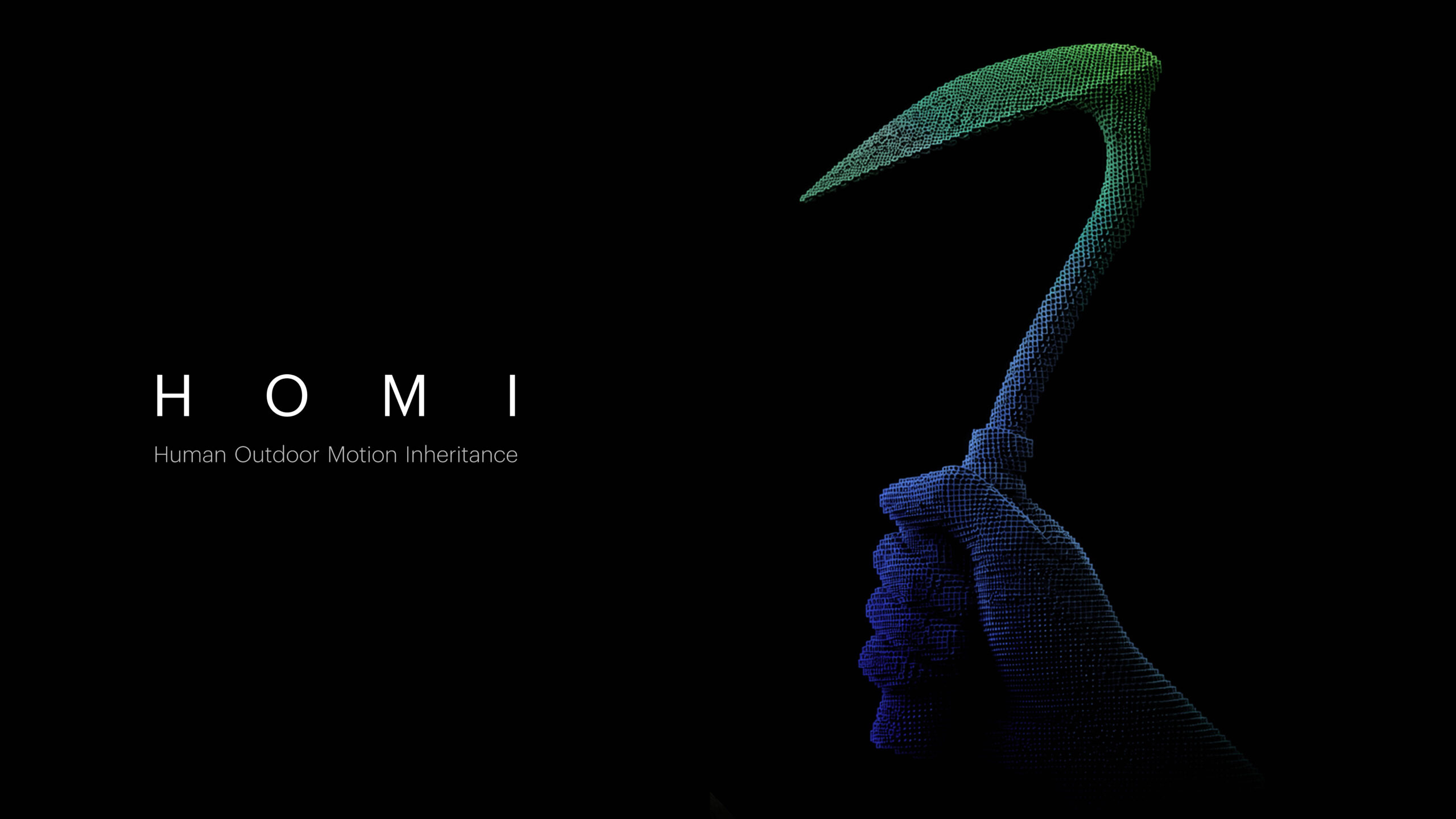
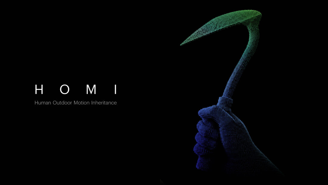
HOMI: Human Outdoor Motion Inheritance
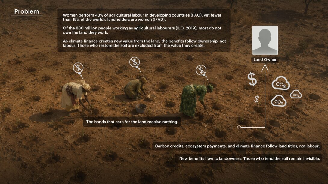
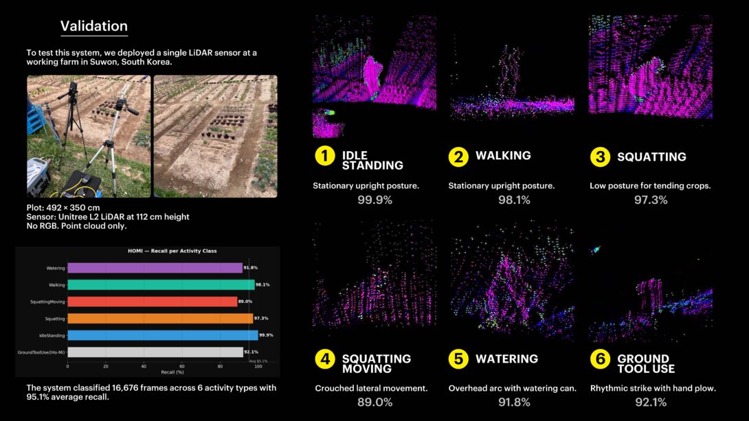
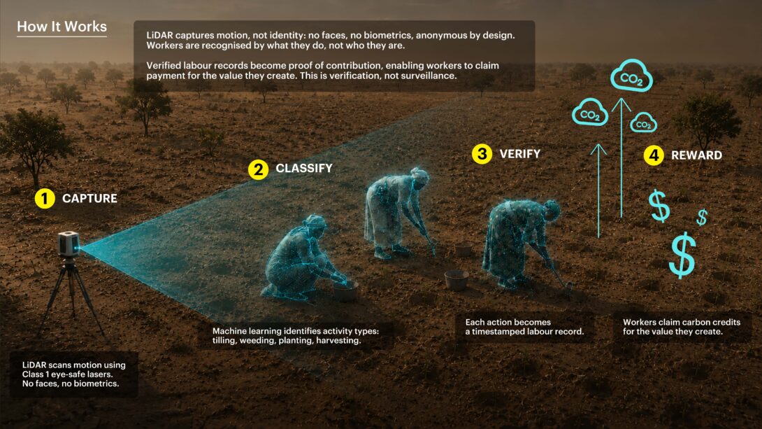
Across developing countries, more people work the land than own it. The world has over 570 million farms (Lowder et al., 2016), yet an estimated 880 million people work as agricultural labourers, many tending soil they hold no title to. Women carry much of this work: they are 43% of the agricultural labour force in developing countries (FAO), more the hands in the field than the names on the land, and rarely paid fairly for it. This matters now because the climate economy pays the land, not the hands. Carbon markets and climate finance follow the registry and the satellite image, so the people who care for the soil, women most of all, stay invisible and unpaid. HOMI makes labour, not land, the unit of measurement. A single low-cost LiDAR sensor at the edge of a plot records farming motion as 3D point clouds, never faces or images. In field tests a lightweight model recognised hand-tool digging, watering, squatting, and walking, and the same approach extends to practices like zaï pits. The result is a verified record of work, owned by those who performed it.
About the projects’ approach
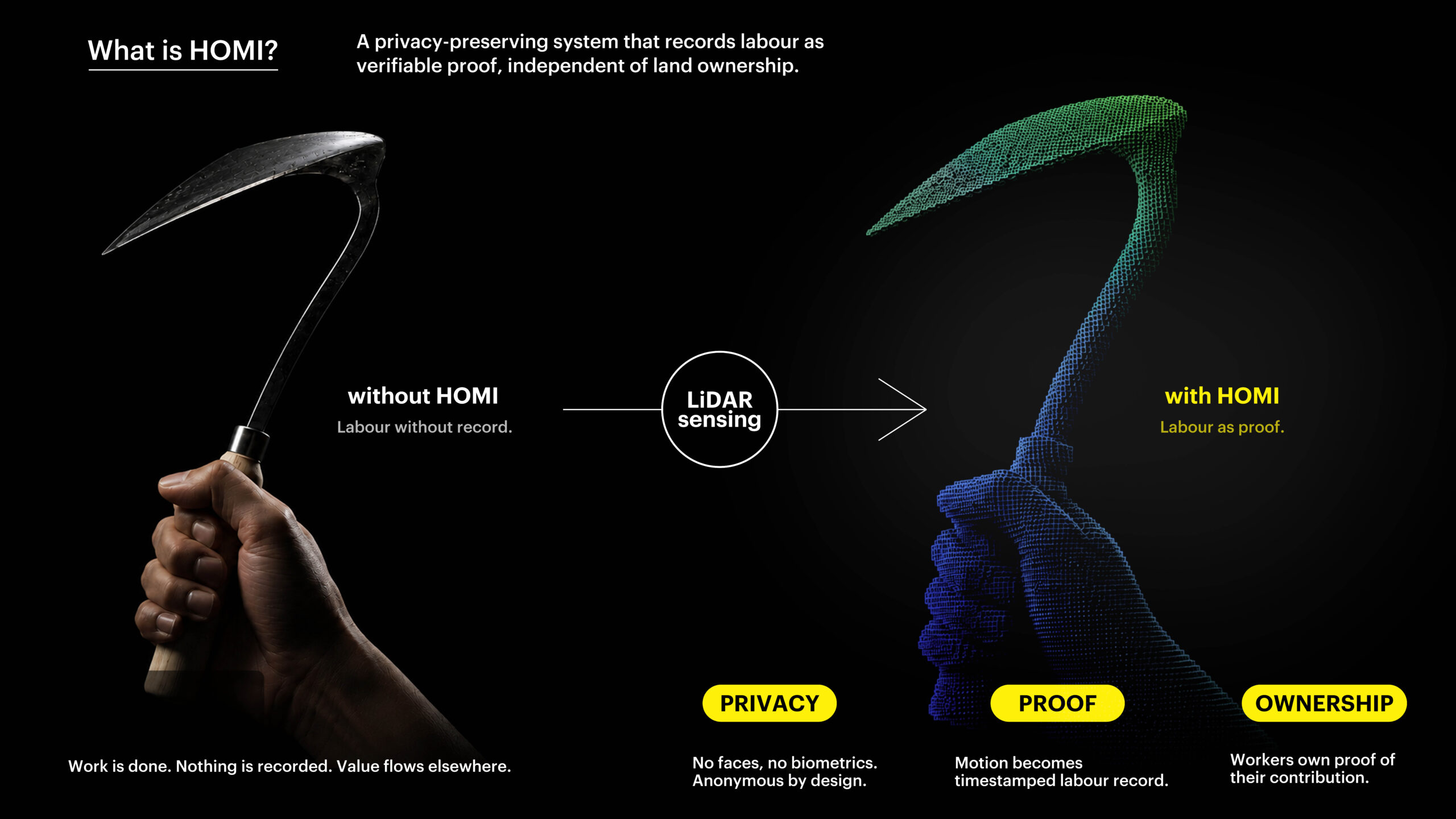
HOMI is built around three values, each carried by a single design choice. The first is anonymity. The sensor is anonymous by design: it records shape and movement as point clouds, never faces and never biometrics, so it protects the worker while it works. This is not surveillance. The second is proof. Each recognised motion becomes a timestamped labour record, turning an action that used to vanish the moment it was done into durable, verifiable evidence. The third is ownership. Workers own the proof of their contribution: the record stays with the cooperative that produced it and is shared only as non-identifying geometry, with consent. Together these choices make the approach open, regenerative, and community-led. The dataset, models, firmware, and design files are released under open licenses in a public repository (github.com/HJ-SEO-UL/groundtruth-dataset), to our knowledge the first camera-free, ground-level LiDAR dataset of agricultural labour. It rewards the low-disturbance practices that rebuild soil carbon, and keeps data and its value inside the community that earns it.