About the project
What does urban air feel like, and how can embodied experience make it visible?
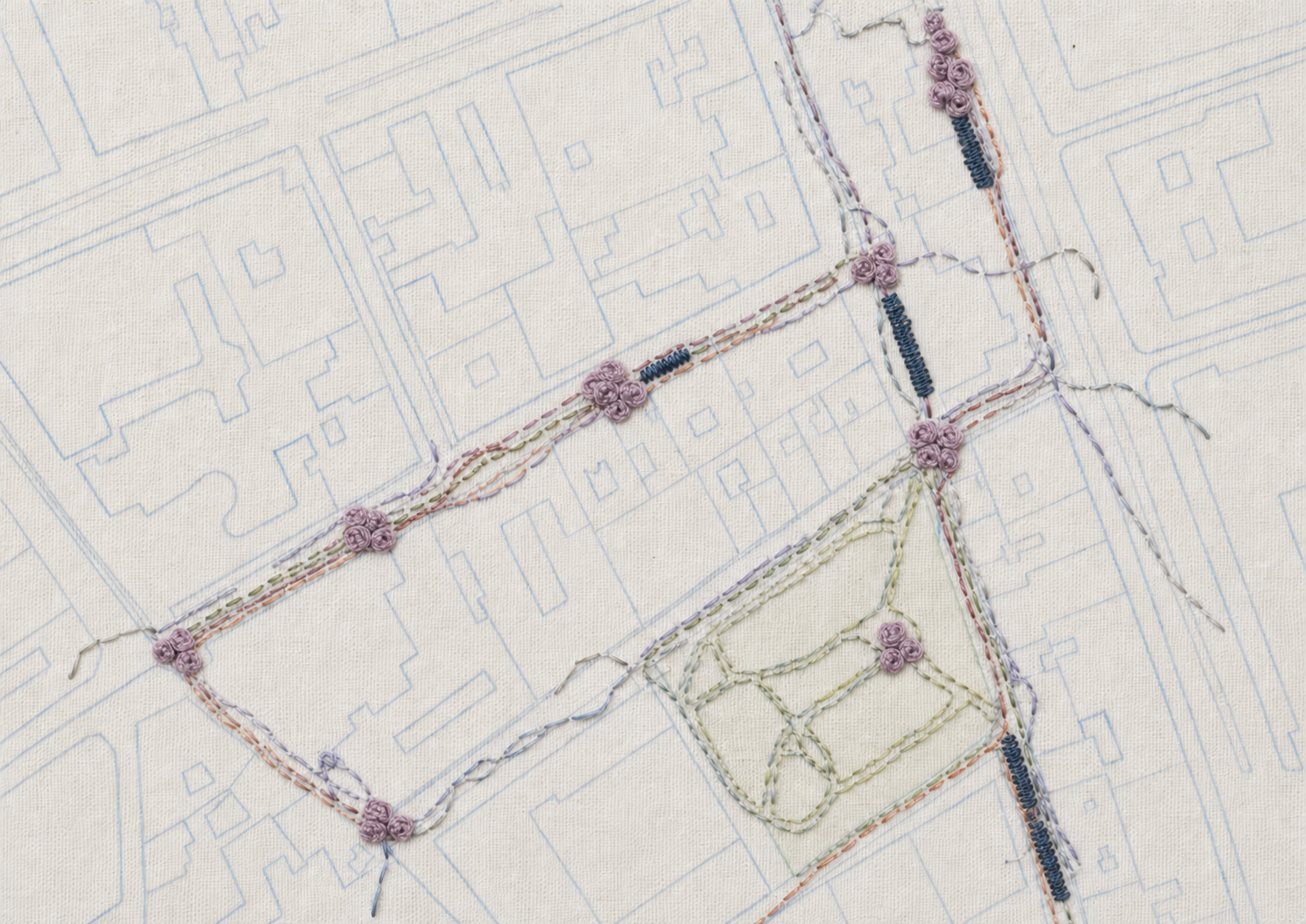
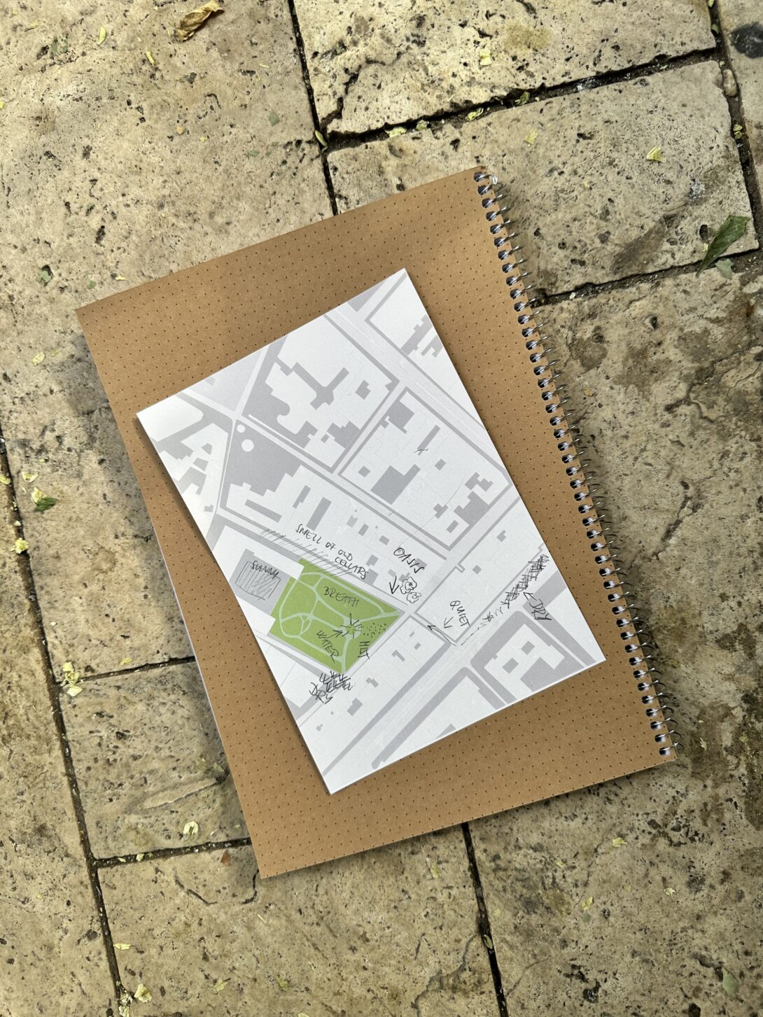
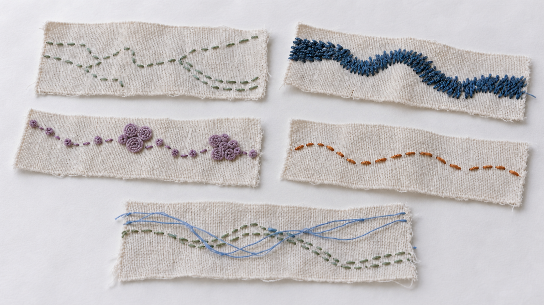
Breathing Routes is a participatory public art project currently in development. The project is in its research and concept development phase and explores how walking, sensory observation, portable air-quality measurements, and collective embroidery can reveal relationships between urban environments, embodied perception, and environmental knowledge. Participants are invited to walk through different parts of the city, paying attention to how air is experienced through the body while collecting environmental data. Their observations and measurements are translated into a shared embroidery language, gradually forming a collective textile map of urban air. The project builds on my earlier participatory public art research into public space, ecological relationships, and collaborative mapping. Designed as an open methodology, Breathing Routes can be adapted to different cities through collaboration with local communities, environmental organisations, citizen-science initiatives, researchers, and makers.
About the project’s approach
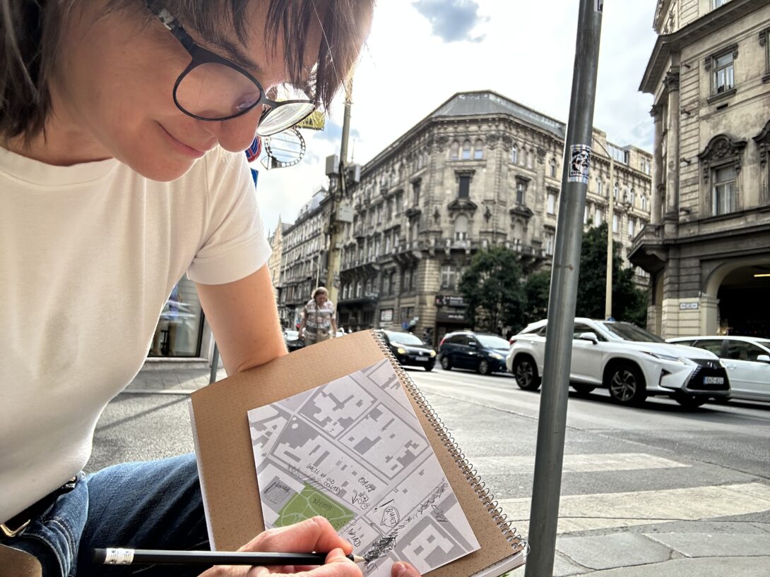
Breathing Routes is developed through participatory public art, bringing together artistic research, collective making, and public presentation. Participants shape the project through shared walks, conversations, environmental observations, and embroidery, contributing their own experiences and knowledge throughout the process.
The project combines sensory perception with portable air-quality measurements to explore how urban air is experienced and understood. Individual observations are translated into a shared embroidery language, creating a collective textile map that connects environmental data with lived experience.
The methodology can be adapted to different places and developed together with local communities, environmental organisations, citizen-science initiatives, researchers, and makers. Each iteration responds to its own social and ecological context while contributing to a growing network of locally produced textile maps.